Cesium在Terrain动态绘制线和面
Posted hpugisers
tags:
篇首语:本文由小常识网(cha138.com)小编为大家整理,主要介绍了Cesium在Terrain动态绘制线和面相关的知识,希望对你有一定的参考价值。
在绘制线和面在Ceisum中GitHub中以有轮子(drawhelper),该轮子仅能绘制在2D层次,在Terrain上则不能绘制。在Terrain上绘制线和面,是进行淹没分析和剖面分析的第一步,在这里在展示如何在Terrain上绘制线和面(主要来源于官方demo)
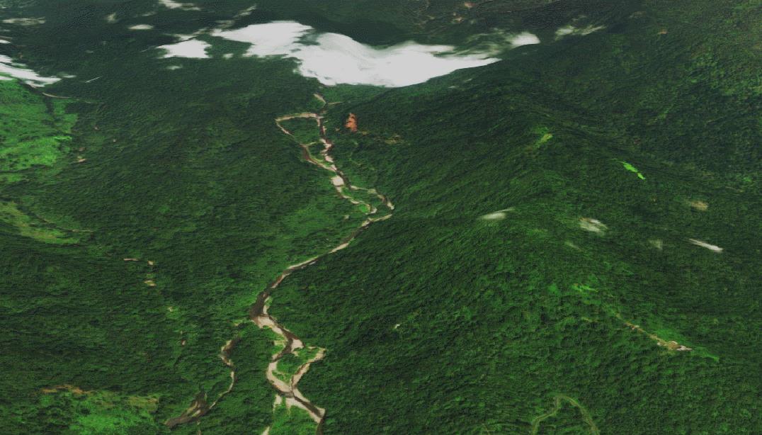
效果:
 demo示例:
<!DOCTYPE html>
<html>
<head>
    <meta charset="utf-8" />
    <title>地形上画线和面</title>
    <style>
        html, body, #cesiumContainer
            width: 100%;
            height: 100%;
            margin: 0;
            padding: 0;
            overflow: hidden;


        #menu
            position: absolute;
            top: 80px;
            left: 10px;
            z-index: 999;

    </style>
    <link href="../script/Cesium-1.56.1/Build/Cesium/Widgets/widgets.css" rel="stylesheet" />
    <script src="../script/Cesium-1.56.1/Build/Cesium/Cesium.js"></script>
    <script src="../../Scripts/jquery-3.3.1.min.js"></script>
</head>
<body>
    <div id="cesiumContainer"></div>
    <div id="menu">
        <p>
            <button id="drawline">画线</button>
            <button id="drawplygon">画面</button>
        </p>
    </div>
    <script>
        //创建地形图层
        var rectangle = new Cesium.Rectangle(Cesium.Math.toRadians(5.9993076), Cesium.Math.toRadians(-0.00025749207),
            Cesium.Math.toRadians(7.00078), Cesium.Math.toRadians(1.001215));
        var terrainLayer = new Cesium.CesiumTerrainProvider(
            url: 'http://localhost:9002/api/wmts/terrain/671bf0e4425e421a8fbe701e2b4db959',
            requestWaterMask: true,
            credit: 'http://www.bjxbsj.cn',
        );
        //创建容器
        var viewer = new Cesium.Viewer('cesiumContainer',
            selectionIndicator: false,
            infoBox: false,
            terrainProvider: terrainLayer
        );
        //定位到目标地形
        viewer.scene.camera.flyTo( destination: rectangle );
        //取消左键双击事件
        viewer.cesiumWidget.screenSpaceEventHandler.removeInputAction(Cesium.ScreenSpaceEventType.LEFT_DOUBLE_CLICK);
        //淹没分析entity
        var entity=null;
        function createPoint(worldPosition)
            var point = viewer.entities.add(
                position: worldPosition,
                point:
                    color: Cesium.Color.WHITE,
                    pixelSize: 5,
                    heightReference: Cesium.HeightReference.CLAMP_TO_GROUND

            );
            return point;

        var drawingMode = 'line';
        function drawShape(positionData)
            var shape;
            if (drawingMode === 'line')
                shape = viewer.entities.add(

                    polyline:
                        positions: positionData,
                        clampToGround: true,
                        material: new Cesium.ColorMaterialProperty(Cesium.Color.GOLD.withAlpha(0.7)),
                        width: 3

                );

            else if (drawingMode === 'polygon')
                shape = viewer.entities.add(
                    polygon:
                        hierarchy: positionData,
                        material: new Cesium.ColorMaterialProperty(Cesium.Color.CHARTREUSE.withAlpha(0.7))

                );

            console.log(shape);
            return shape;

        var activeShapePoints = [];
        var activeShape;
        var floatingPoint;
        var handler = new Cesium.ScreenSpaceEventHandler(viewer.canvas);
        handler.setInputAction(function (event)
            if (!Cesium.Entity.supportsPolylinesOnTerrain(viewer.scene))
                console.log('This browser does not support polylines on terrain.');
                return;

            // 使用viewer.scene.pickPosition` 来代替`viewer.camera.pickEllipsoid` 这样当鼠标掠过terrain能得到正确的坐标
            var earthPosition = viewer.scene.pickPosition(event.position);
            // `earthPosition` will be undefined if our mouse is not over the globe.
            if (Cesium.defined(earthPosition))
                if (activeShapePoints.length === 0)
                    floatingPoint = createPoint(earthPosition);
                    activeShapePoints.push(earthPosition);
                    var dynamicPositions = new Cesium.CallbackProperty(function ()
                        return activeShapePoints;
                    , false);
                    activeShape = drawShape(dynamicPositions);

                activeShapePoints.push(earthPosition);
                createPoint(earthPosition);

        , Cesium.ScreenSpaceEventType.LEFT_CLICK);

        handler.setInputAction(function (event)
            if (Cesium.defined(floatingPoint))
                var newPosition = viewer.scene.pickPosition(event.endPosition);
                if (Cesium.defined(newPosition))
                    floatingPoint.position.setValue(newPosition);
                    activeShapePoints.pop();
                    activeShapePoints.push(newPosition);


        , Cesium.ScreenSpaceEventType.MOUSE_MOVE);
        // Redraw the shape so it's not dynamic and remove the dynamic shape.
        function terminateShape()
            activeShapePoints.pop();
            entity=drawShape(activeShapePoints);
            viewer.entities.remove(floatingPoint);
            viewer.entities.remove(activeShape);
            floatingPoint = undefined;
            activeShape = undefined;
            activeShapePoints = [];

        handler.setInputAction(function (event)
            terminateShape();
        , Cesium.ScreenSpaceEventType.RIGHT_CLICK);
        $("#drawline").click(function ()
            terminateShape();
            drawingMode = 'line';
        );
        $("#drawplygon").click(function ()
            terminateShape();
            drawingMode = 'polygon';

        );


    </script>
</body>
</html>
以上是关于Cesium在Terrain动态绘制线和面的主要内容,如果未能解决你的问题,请参考以下文章
Cesium入门7 - Adding Terrain - 添加地形